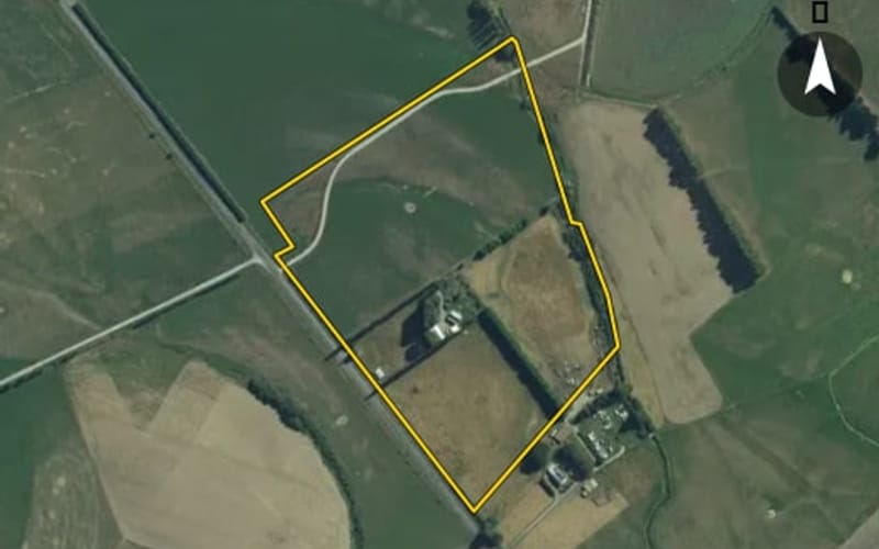
 AerialNot listed
Estimate $734k – $1.14m
3
260 Knapdale Road, Whiterigg
Knapdale Road in Whiterigg has 9 properties, valued by the council between $520,000 and $890,000 with a median of $725,000 (Whiterigg: $755,000). More of its homes were built in the 1910s than in any other decade. We estimate its homes at a median $764,000. 1 sold in the last twelve months.
AerialNot listed AerialNot listed
 AerialNot listed
 AerialNot listed
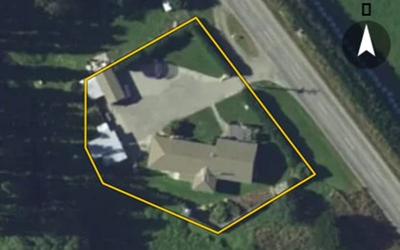 AerialNot listed
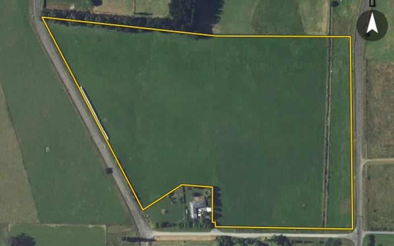 AerialNot listed
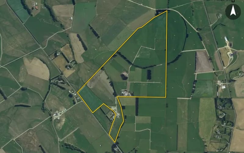 AerialNot listed
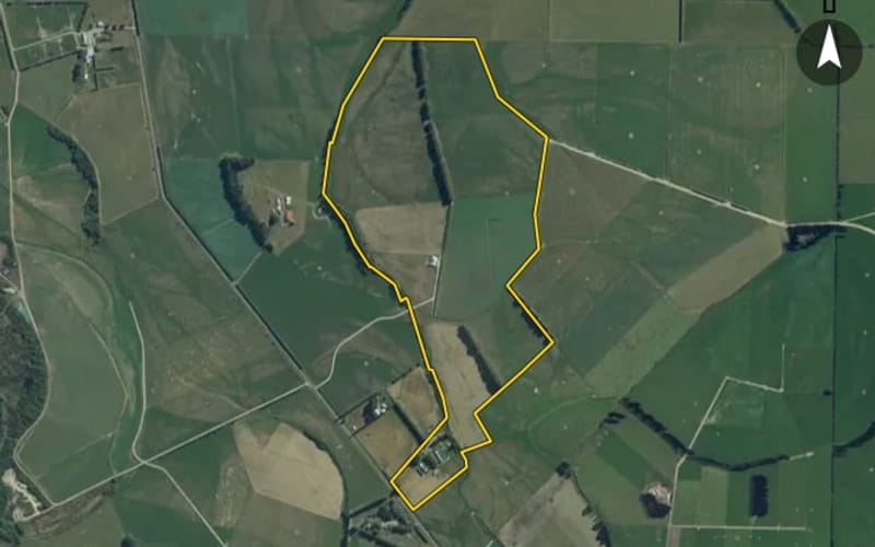 AerialNot listed
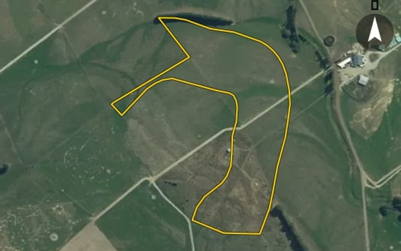 AerialNot listed
The council values Knapdale Road's 6 rated properties between $520,000 and $890,000. The middle half sit between about $577,500 and $842,500; the median is $725,000 and the mean $711,667.
| Bedrooms | Homes | Median council value | Sold, last 12 months | Median sale |
|---|---|---|---|---|
| 3 | 1 | $890k | 0 | — |
| 4 | 3 | $820k | 1 | — |
Council rating valuations: the council's figure for apportioning rates, not a market appraisal.
Knapdale Road's median council value is 4% below Whiterigg's.
| Knapdale Road | Whiterigg | Gore | |
|---|---|---|---|
| Median council value | $725k | $755k | $430k |
| Sold in the last 12 months | 11.1% | 5.2% | 4.4% |
| Median section | 20,234 m² | 20,234 m² | 809 m² |
| Median year built | 1970 | 1980 | 1960 |
| Council value per m² of floor | $4k | $4k | $3k |
Knapdale Road has 9 houses. More were built in the 1910s than in any other decade (20%).
Every street in Whiterigg, and the suburb's house prices and sales.
Sales and valuations as at 11 September 2026, from council and LINZ records. Medians resting on fewer than 3 sales are not shown.