 AerialNot listed
$12,160,000 CV
132 Whangapouri Road, Karaka
Whangapouri Road in Karaka has 26 properties, valued by the council between $1,175,000 and $12,160,000 with a median of $2,670,000 (Karaka: $1,140,000). More of its homes were built in the 1990s than in any other decade. We estimate its homes at a median $2,455,000. 1 sold in the last twelve months.
AerialNot listed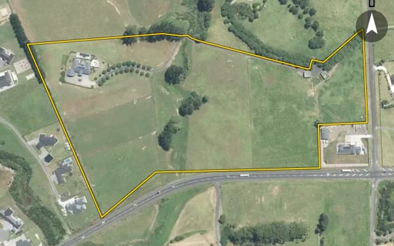 AerialNot listed
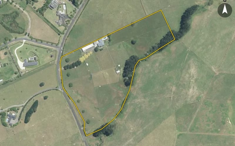 AerialNot listed
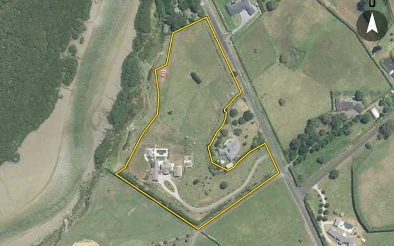 AerialNot listed
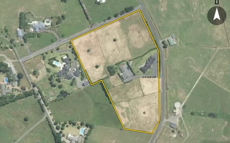 AerialNot listed
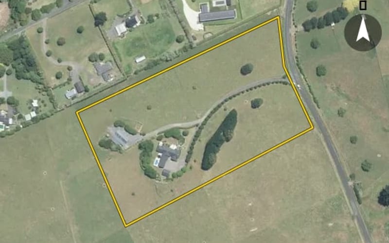 AerialNot listed
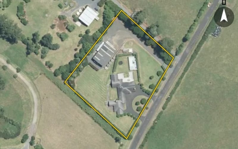 AerialNot listed
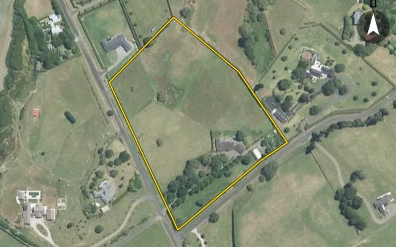 AerialNot listed
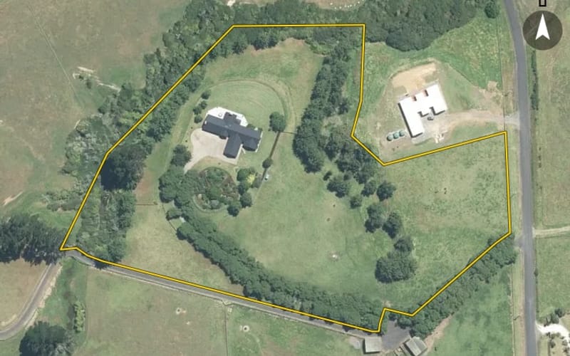 AerialNot listed
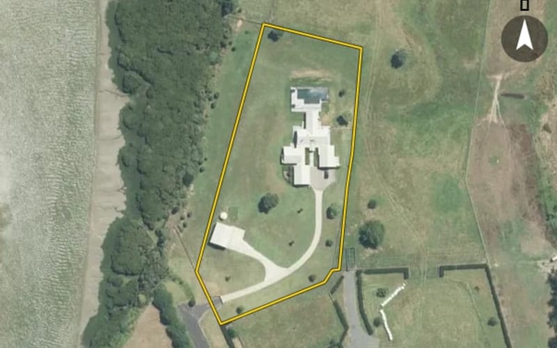 AerialNot listed
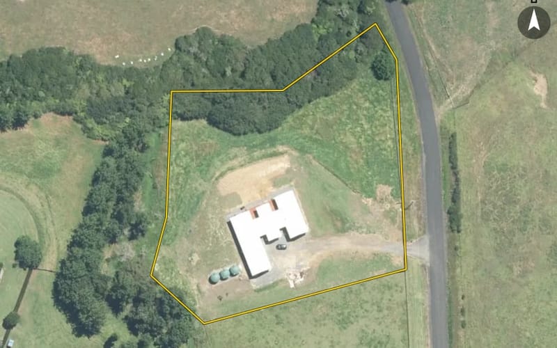 AerialNot listed
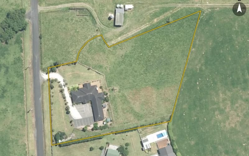 AerialNot listed
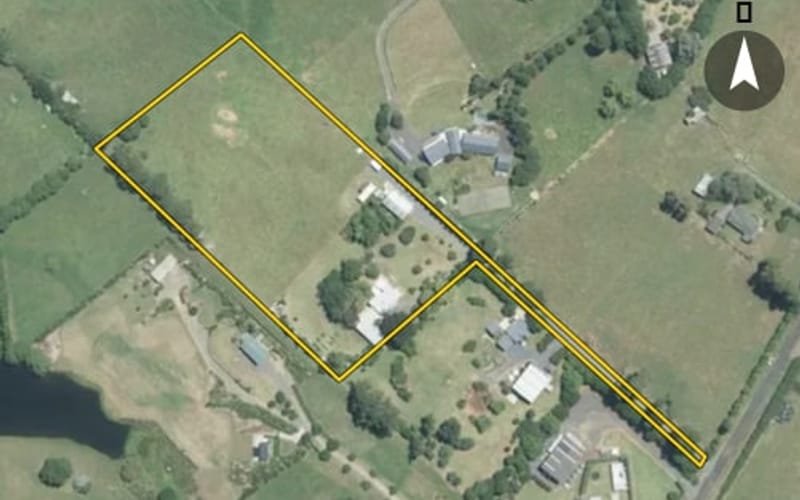 AerialNot listed
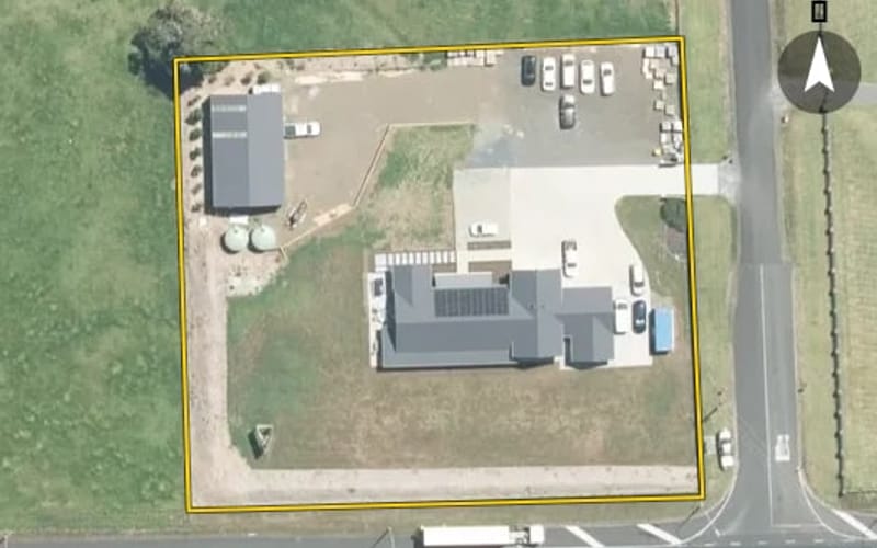 AerialNot listed
 AerialNot listed
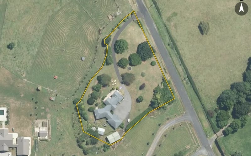 AerialNot listed
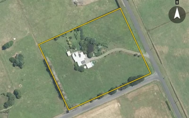 AerialNot listed
The council values Whangapouri Road's 25 rated properties between $1,175,000 and $12,160,000. The middle half sit between about $2,187,000 and $3,845,000; the median is $2,670,000 and the mean $3,476,800.
| Bedrooms | Homes | Median council value | Sold, last 12 months | Median sale |
|---|---|---|---|---|
| 3 | 2 | $2.34m | 0 | — |
| 4 | 8 | $2.83m | 0 | — |
| 5+ | 11 | $3.1m | 1 | — |
Council rating valuations: the council's figure for apportioning rates, not a market appraisal.
Whangapouri Road's median council value is 134% above Karaka's.
| Whangapouri Road | Karaka | Papakura | |
|---|---|---|---|
| Median council value | $2.67m | $1.14m | $830k |
| Sold in the last 12 months | 3.8% | 6.5% | 5.1% |
| Median section | 26,543 m² | 436 m² | 501 m² |
| Median year built | 1990 | 2010 | 1990 |
| Council value per m² of floor | $9k | $7k | $7k |
Median sale price by year; 2025 is the year so far. A year with fewer than two sales has no bar.
| Year | Sales | Median price | Per m² floor |
|---|---|---|---|
| 2025 | 2 | $2,475,000 | $6,900 |
| 2024 | 1 | $4,900,000 | $8,208 |
| 2022 | 1 | $2,200,000 | $11,168 |
| 2021 | 2 | $3,017,500 | $5,850 |
| 2018 | 2 | $1,937,500 | $5,243 |
| 2017 | 1 | $776,000 | $2,217 |
| 2016 | 2 | $1,660,000 | $9,280 |
Whangapouri Road has 25 houses and 1 section. More were built in the 1990s than in any other decade (23%).
Every street in Karaka, and the suburb's house prices and sales.
Sales and valuations as at 11 September 2026, from council and LINZ records. Medians resting on fewer than 3 sales are not shown.