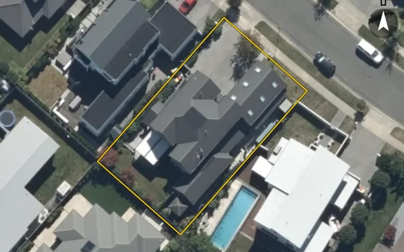
$1,760,000 CV
62 Westpark Drive, Burnside
Westpark Drive in Burnside has 60 properties, valued by the council between $114,000 and $1,760,000 with a median of $1,400,000 (Burnside: $810,000). Most of its homes were built in the 2000s.
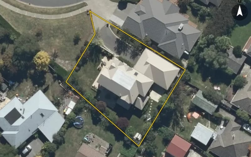
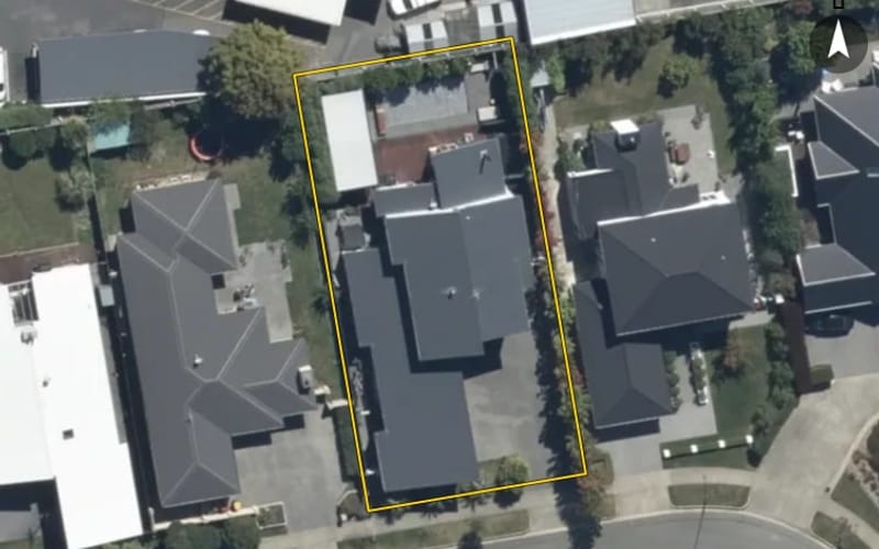
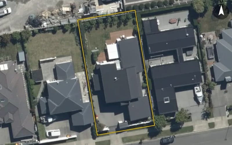
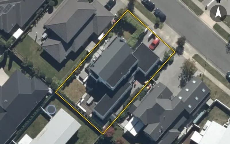
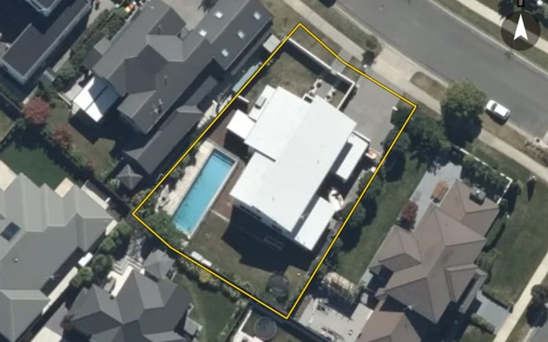
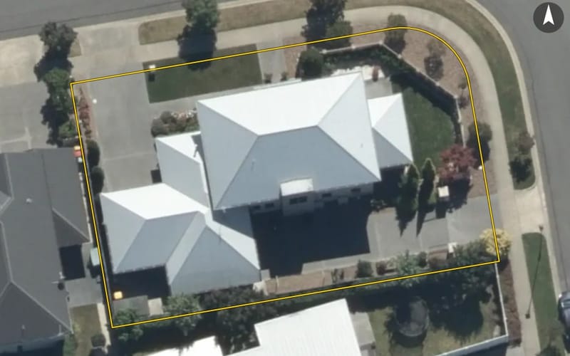
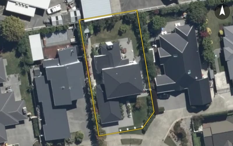
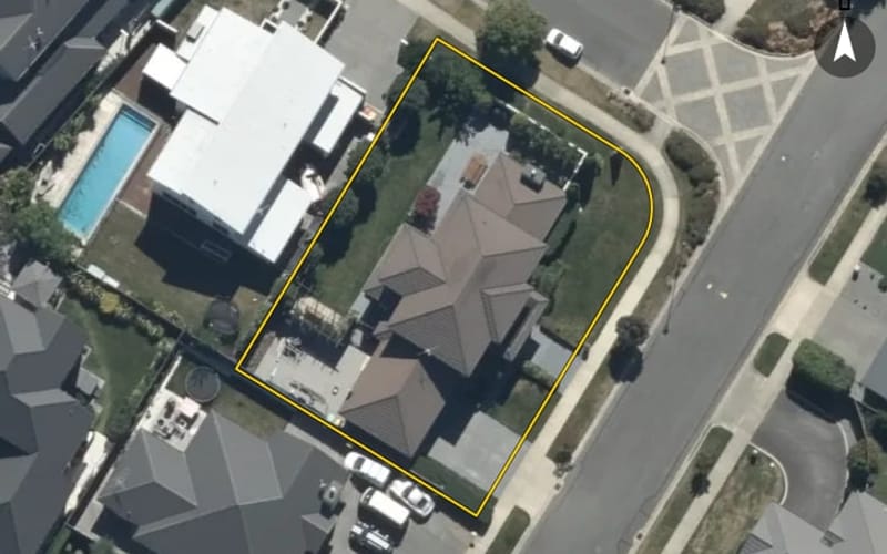
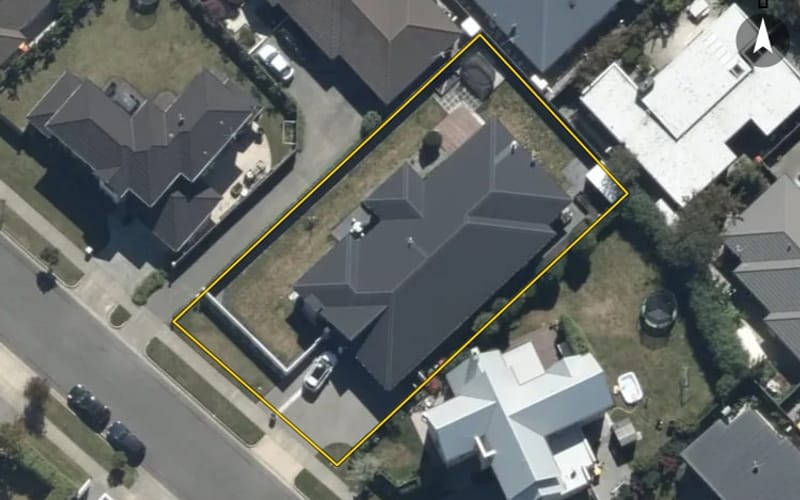
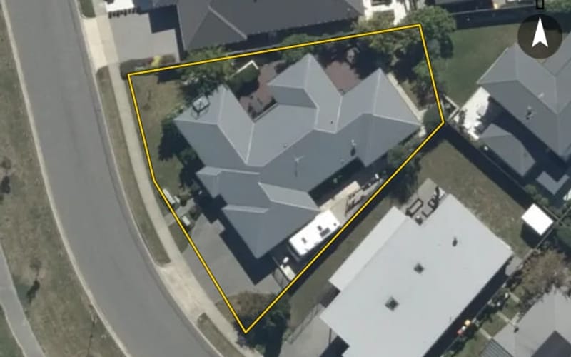
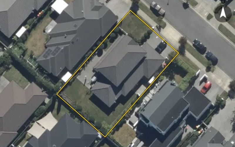
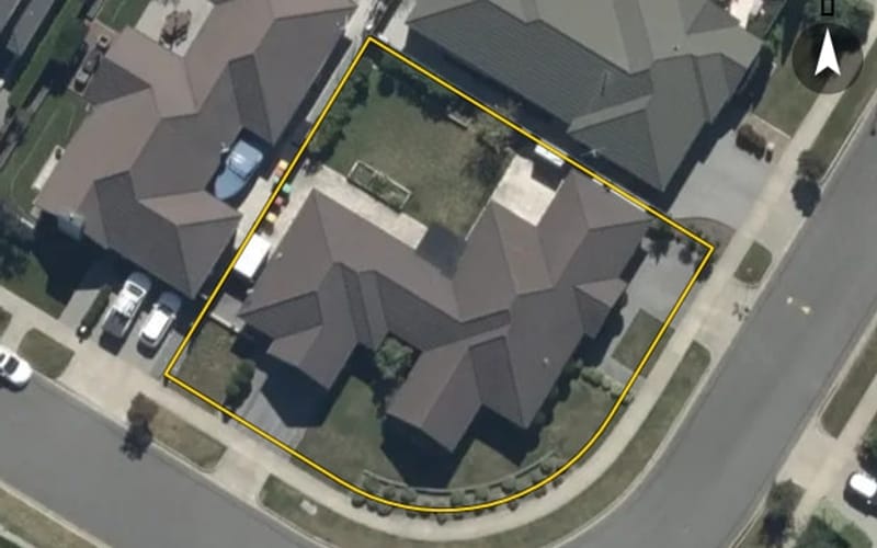



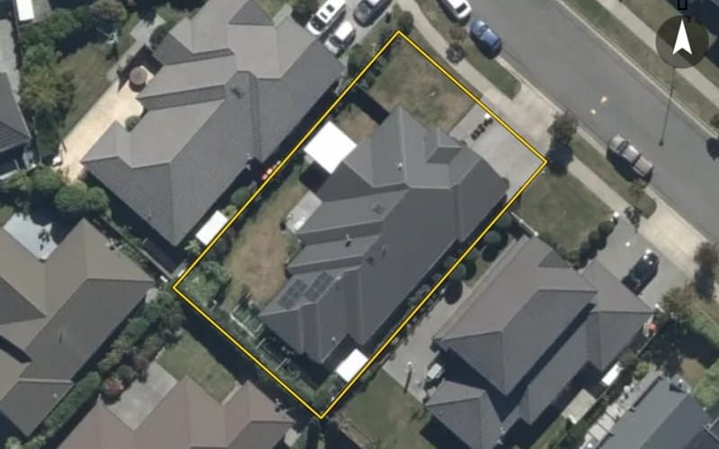
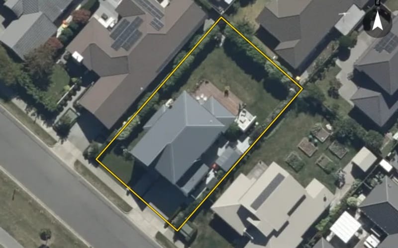
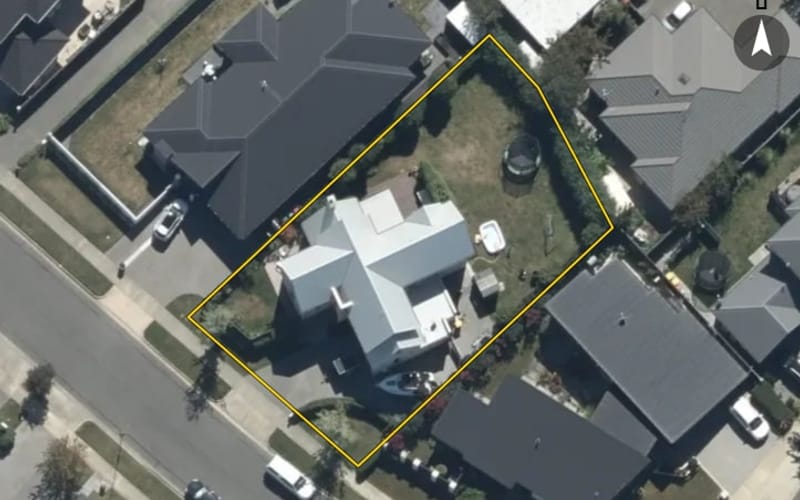

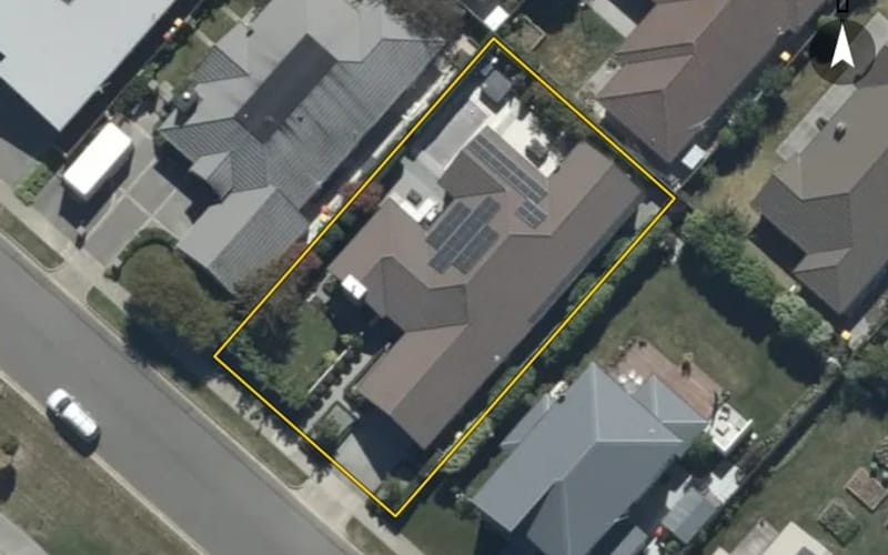
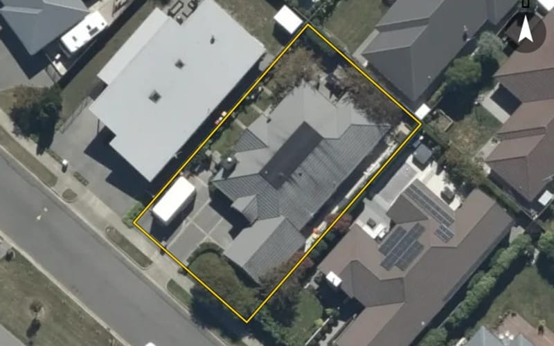
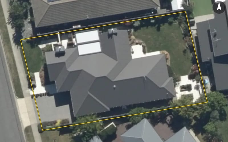
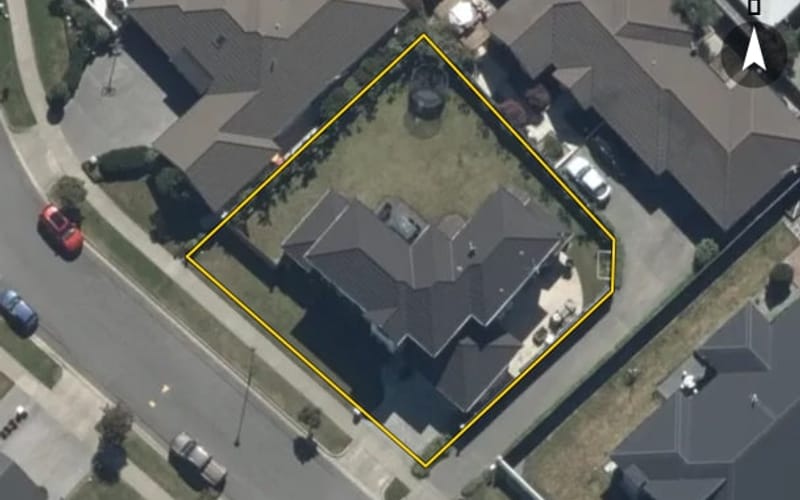
The council values Westpark Drive's 60 rated properties between $114,000 and $1,760,000. The middle half sit between about $1,347,000 and $1,492,000; the median is $1,400,000 and the mean $1,405,817.
Council rating valuations: the council's figure for apportioning rates, not a market appraisal.
Westpark Drive's median council value is 73% above Burnside's.
| Westpark Drive | Burnside | Christchurch | |
|---|---|---|---|
| Median council value | $1.4m | $810k | $680k |
| Median section | 708 m² | 674 m² | 625 m² |
| Median year built | 2000 | 1960 | 1980 |
| Council value per m² of floor | $5k | $5k | $5k |
Westpark Drive has 59 houses. Most were built in the 2000s (83%).
Every street in Burnside, and the suburb's house prices and sales.
Sales and valuations as at 11 September 2026, from council and LINZ records. Medians resting on fewer than 3 sales are not shown.