
Estimate $1.40m – $1.86m
3
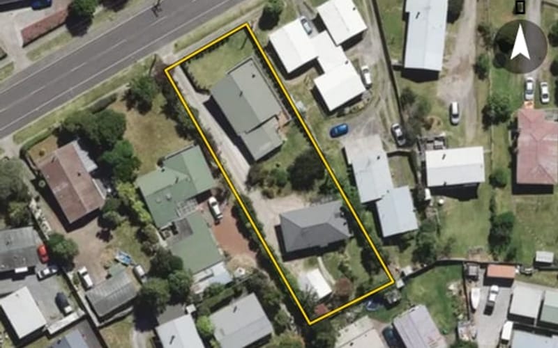
218 Rifle Range Road, Tauhara
Rifle Range Road in Tauhara has 43 properties, valued by the council between $475,000 and $1,610,000 with a median of $587,500 (Tauhara: $610,000). More of its homes were built in the 1970s than in any other decade. We estimate its homes at a median $597,000. 2 sold in the last twelve months. The highest sale in 2026 was 230 Rifle Range Road, at $681,000.


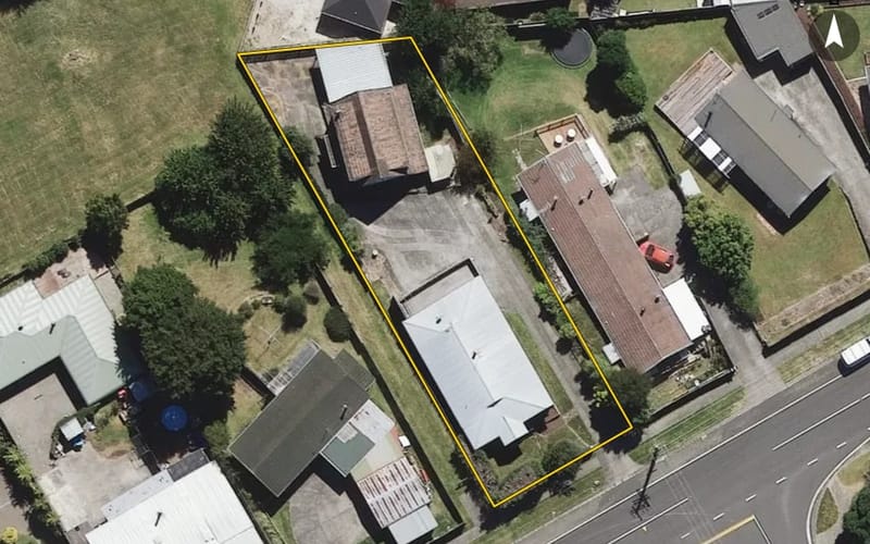
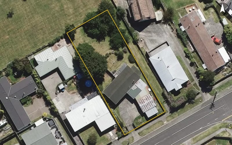
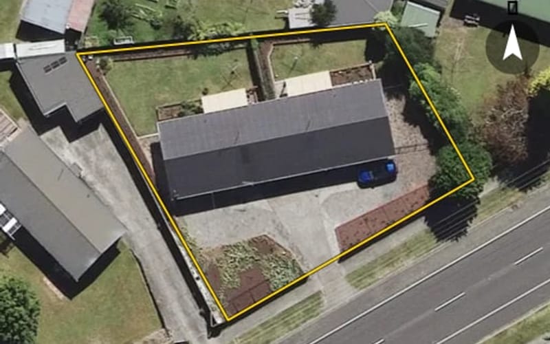
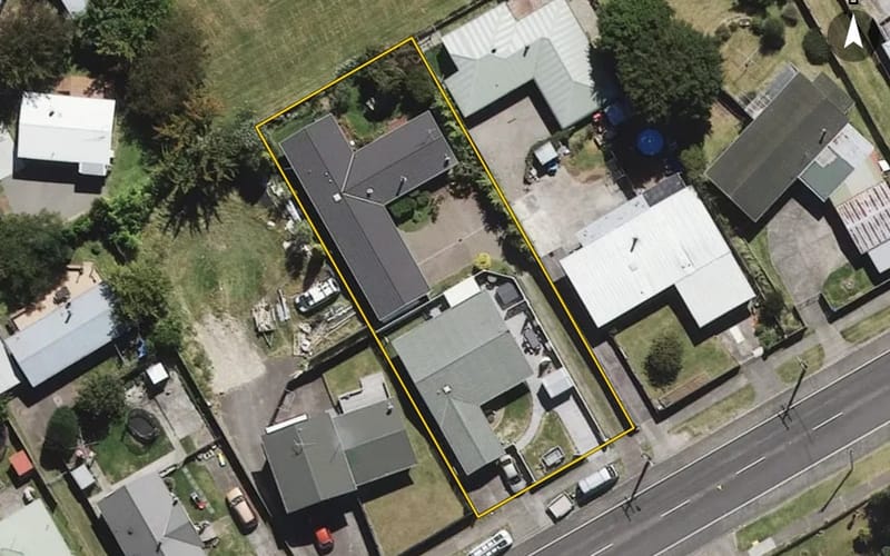
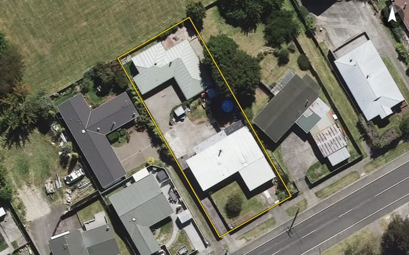
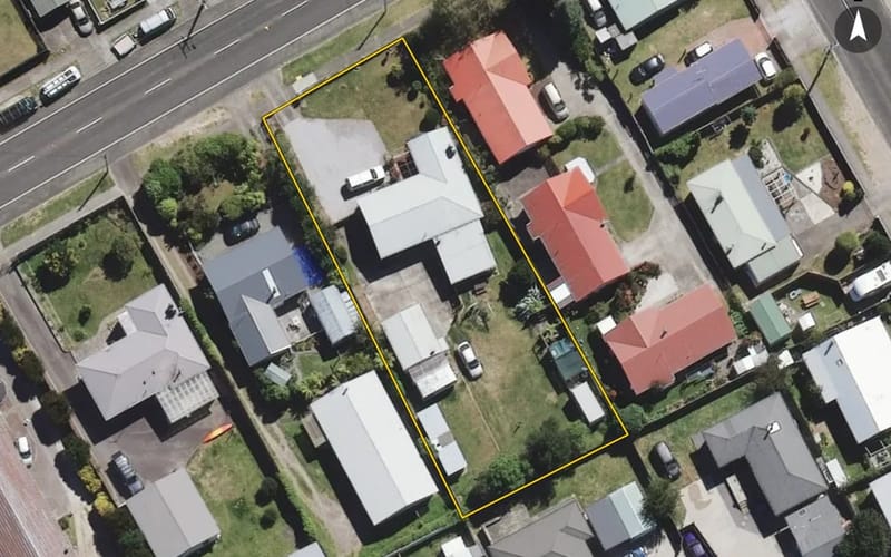
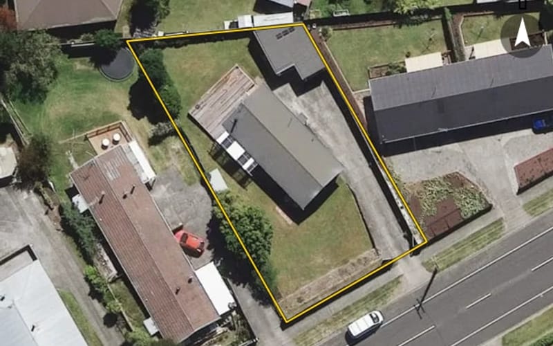
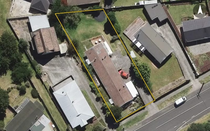




The council values Rifle Range Road's 42 rated properties between $475,000 and $1,610,000. The middle half sit between about $530,750 and $656,750; the median is $587,500 and the mean $615,238.
| Bedrooms | Homes | Median council value | Sold, last 12 months | Median sale |
|---|---|---|---|---|
| 1 | 1 | $500k | 0 | — |
| 2 | 13 | $540k | 1 | — |
| 3 | 23 | $625k | 0 | — |
| 4 | 4 | $675k | 1 | — |
| 5+ | 1 | $660k | 0 | — |
Council rating valuations: the council's figure for apportioning rates, not a market appraisal.
Rifle Range Road's median council value is 4% below Tauhara's.
| Rifle Range Road | Tauhara | Taupō | |
|---|---|---|---|
| Median council value | $588k | $610k | $860k |
| Sold in the last 12 months | 4.7% | 2.4% | 3.3% |
| Time between sales | 6.6 yrs | 6.3 yrs | 6.8 yrs |
| Median section | 1,012 m² | 890 m² | 854 m² |
| Median year built | 1970 | 1960 | 1990 |
| Council value per m² of floor | $6k | $6k | $6k |
Median sale price by year; 2026 is the year so far. A year with fewer than two sales has no bar.
| Year | Sales | Median price | Per m² floor |
|---|---|---|---|
| 2026 | 2 | $596,500 | $4,262 |
| 2023 | 5 | $520,000 | $5,250 |
| 2022 | 2 | $700,000 | $8,208 |
| 2021 | 4 | $617,000 | $6,195 |
| 2020 | 4 | $405,000 | $4,884 |
| 2019 | 1 | $405,000 | $3,857 |
| 2018 | 4 | $368,750 | $3,285 |
| 2017 | 5 | $320,000 | $2,717 |
| 2016 | 8 | $270,750 | $2,965 |
Rifle Range Road has 34 units and townhouses and 9 houses. More were built in the 1970s than in any other decade (29%).
Homes on Rifle Range Road that resold in the last five years had been held a median 6.6 years (Tauhara: 6.3 years).
Time between a home's sales, for 10 resales in the last five years. A home not sold since our records begin is not counted, so owners who stay longest are under-represented.
Every street in Tauhara, and the suburb's house prices and sales.
Sales and valuations as at 11 September 2026, from council and LINZ records. Medians resting on fewer than 3 sales are not shown.