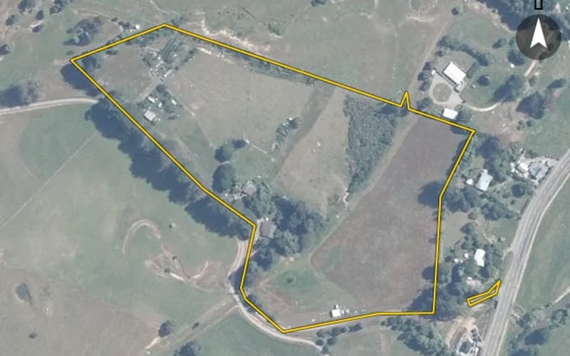
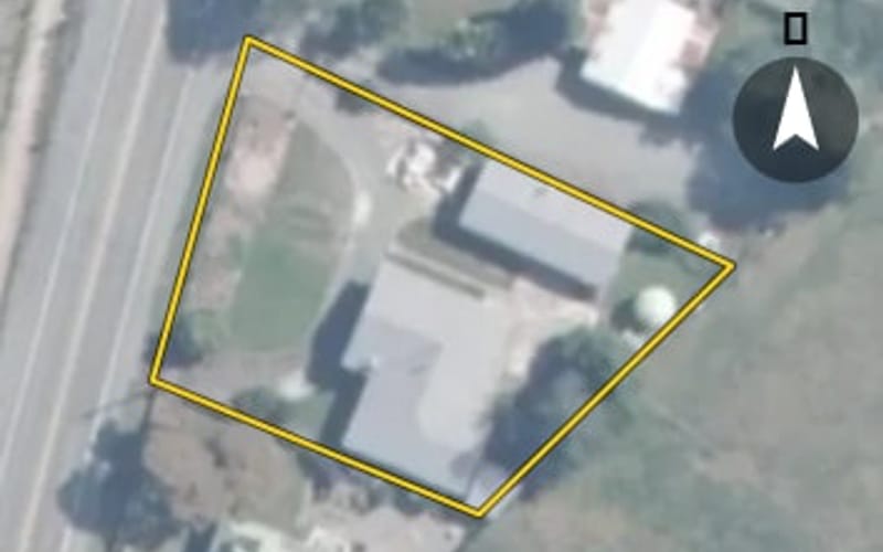
24 properties · Belgrove, Wakefield

Wakefield-Kohatu Highway, Belgrove

Wakefield-Kohatu Highway in Belgrove has 24 properties, valued by the council between $200,000 and $2,040,000 with a median of $810,000 (Belgrove: $970,000). More of its homes were built in the 1910s than in any other decade. We estimate its homes at a median $828,000. 1 sold in the last twelve months. The highest sale in 2026 was 827 Wakefield-Kohatu Highway, at $680,000.

$810kmedian council valuation
$828kour median estimate
1sold in the last 12 months
1940median year built
WakefieldBelgrove ×Wakefield-Kohatu Highway ×

24 properties on Wakefield-Kohatu Highway, Belgrove

Highest and lowest on Wakefield-Kohatu Highway

Highest-valued home793 Wakefield-Kohatu Highway$2,040,000council valuation · 5 bed · 387 m² floor · 80,131 m² land
Lowest-valued home918 Wakefield-Kohatu Highway$200,000council valuation · 2,051 m² land
Highest sale in 2026827 Wakefield-Kohatu Highway$680,000sold 31 Mar 2026 · 3 bed · 140 m² floor · 1,214 m² land

Property values on Wakefield-Kohatu Highway

The council values Wakefield-Kohatu Highway's 18 rated properties between $200,000 and $2,040,000. The middle half sit between about $674,750 and $1,118,000; the median is $810,000 and the mean $929,444.

Lowest: $200k$200kLowest10%: $595k20%: $640k20%30%: $710k40%: $799k40%Median: $810k60%: $974k60%70%: $1.06m80%: $1.17m80%90%: $1.33mHighest: $2.04m$2.04mHighest
BedroomsHomesMedian council valueSold, last 12 monthsMedian sale
311$810k1—
43$1.07m0—
5+2$1.64m0—

Council rating valuations: the council's figure for apportioning rates, not a market appraisal.

Wakefield-Kohatu Highway compared with Belgrove

Wakefield-Kohatu Highway's median council value is 16% below Belgrove's.

Wakefield-Kohatu HighwayBelgroveWakefield
Median council value$810k$970k$780k
Sold in the last 12 months4.2%5.1%3.5%
Median section18,598 m²23,401 m²2,586 m²
Median year built194019651980
Council value per m² of floor$6k$6k$5k

Recent sales on Wakefield-Kohatu Highway

The homes on Wakefield-Kohatu Highway

Wakefield-Kohatu Highway has 23 houses and 1 section. More were built in the 1910s than in any other decade (24%).

1880s: 1 (1 home)11900s: 1 (1 home)1900s1910s: 4 (4 homes)41920s: 1 (1 home)1920s1940s: 2 (2 homes)1950s: 1 (1 home)1950s1970s: 1 (1 home)1980s: 2 (2 homes)1980s1990s: 1 (1 home)2000s: 1 (1 home)2000s2010s: 1 (1 home)2020s: 1 (1 home)12020s

Building and resource consents on Wakefield-Kohatu Highway

2building consents in the last 5 years
5resource consents in the last 5 years
  • 835 Wakefield-Kohatu Highway1 Jan 2025 · Building consentInstall freestanding wood burner
  • 788 Wakefield-Kohatu Highway1 Aug 2024 · Building consentConstruct in-ground swimming pool
  • 955 Wakefield-Kohatu Highway26 Feb 2024 · Resource consentLand use consent to relocate a minor dwelling as a second dwelling in the Zone.
  • 918 Wakefield-Kohatu Highway15 Feb 2023 · Resource consentLand use consent to construct a dwelling which breaches an internal boundary setback and site water tanks which contravene road and internal boundary setback permitted activity rules in the Rural 2 Zo
  • 788 Wakefield-Kohatu Highway8 Jun 2022 · Resource consentLand use consent to convert an existing tavern into a dwelling in the Rural 1 Zone which breaches the 30 metre internal boundary setback for habitable buildings and exceeds building coverage, and for
  • 949 Wakefield-Kohatu Highway9 Dec 2021 · Resource consentSubdivision of Lots 2-4 DP 365319(RT 264756)of 1.1966 hectares held together by s240Covenant with Part Sec 1Blk Gordon Survey Dist and Part Sec 4 and Part Sec 82 Sq 4 (RT NL 12C/987)containing 57.0587
  • 955 Wakefield-Kohatu Highway28 Oct 2021 · Resource consentLand use consent to construct a relocated dwelling which does not comply with TRMP 16.8.3.1

Sales and valuations as at 11 September 2026, from council and LINZ records. Medians resting on fewer than 3 sales are not shown.