27 properties · Thornbury, Riverton/Aparima

Foster Road, Thornbury

Foster Road in Thornbury has 27 properties, valued by the council between $20,000 and $5,900,000 with a median of $220,000 (Thornbury: $270,000). More of its homes were built in the 1940s than in any other decade. We estimate its homes at a median $311,000. The last sale we have was in April 2021, for $100,000.

$220kmedian council valuation
$311kour median estimate
1950median year built
Riverton/AparimaThornbury ×Foster Road ×

Highest and lowest on Foster Road

Highest-valued home6 Foster Road$475,000council valuation · 4 bed · 200 m² floor · 1,012 m² land
Lowest-valued home42 Foster Road$20,000council valuation · 1,017 m² land

Property values on Foster Road

The council values Foster Road's 27 rated properties between $20,000 and $5,900,000. The middle half sit between about $81,200 and $368,000; the median is $220,000 and the mean $436,037.

Lowest: $20k$20kLowest10%: $44k20%: $68k20%30%: $94k40%: $123k40%Median: $220k60%: $286k60%70%: $326k80%: $410k80%90%: $475kHighest: $5.9m$5.9mHighest
BedroomsHomesMedian council valueSold, last 12 monthsMedian sale
37$325k0—
43$390k0—

Council rating valuations: the council's figure for apportioning rates, not a market appraisal.

Foster Road compared with Thornbury

Foster Road's median council value is 19% below Thornbury's.

Foster RoadThornburyRiverton/Aparima
Median council value$220k$270k$475k
Median section1,047 m²1,624 m²1,012 m²
Median year built195019501960
Council value per m² of floor$1k$3k$5k

Recent sales on Foster Road

  • 49 Foster Road$100,00027 Apr 2021 · 3 bed · 160 m² floor · 1,047 m² land
  • 1 Foster Road$245,00021 Dec 2020 · 3 bed · 110 m² floor · 3,275 m² land
  • 84 Foster Road$92,50027 Nov 2015 · 3 bed · 140 m² floor · 809 m² land
  • 4 Foster Road$127,00018 Dec 2014 · 3 bed · 151 m² floor · 1,444 m² land
  • 4 Foster Road$86,6009 Jun 2013 · 3 bed · 151 m² floor · 1,444 m² land
  • 1 Foster Road$140,0009 Feb 2011 · 3 bed · 110 m² floor · 3,275 m² land
  • 81 Foster Road$185,0002 Mar 2010 · 3 bed · 153 m² floor · 1,012 m² land
  • 1 Foster Road$125,00012 Aug 2009 · 3 bed · 110 m² floor · 3,275 m² land
  • 6 Foster Road$30,0002 Nov 2002 · 4 bed · 200 m² floor · 1,012 m² land
  • 84 Foster Road$21,00018 Jan 2001 · 3 bed · 140 m² floor · 809 m² land
  • 46 Foster Road$262,5008 Oct 1996 · 4 bed · 610 m² floor · 2,985 m² land
  • 81 Foster Road$90,00023 Nov 1995 · 3 bed · 153 m² floor · 1,012 m² land
  • 4 Foster Road$34,0002 Jun 1993 · 3 bed · 151 m² floor · 1,444 m² land
  • 46 Foster Road$150,00010 Jan 1991 · 4 bed · 610 m² floor · 2,985 m² land
  • 1 Foster Road$23,30016 Jan 1987 · 3 bed · 110 m² floor · 3,275 m² land
  • 83 Foster Road$32,0004 Feb 1986 · 3 bed · 100 m² floor · 1,012 m² land
  • 46 Foster Road$125,00012 Jul 1985 · 4 bed · 610 m² floor · 2,985 m² land
  • 4 Foster Road$22,00028 Apr 1982 · 3 bed · 151 m² floor · 1,444 m² land

The homes on Foster Road

Foster Road has 10 houses and 5 sections. More were built in the 1940s than in any other decade (24%).

1910s: 1 (1 home)11910s1920s: 2 (2 homes)1920s1930s: 1 (1 home)1930s1940s: 4 (4 homes)41940s1950s: 1 (1 home)1950s1960s: 4 (4 homes)1960s1970s: 3 (3 homes)1970s2010s: 1 (1 home)12010s

Building and resource consents on Foster Road

4resource consents in the last 5 years
  • 79 Foster Road10 Jul 2024 · Resource consentTo discharge overburden to land at the Aparima River
  • 61 Foster Road20 Jul 2023 · Resource consentLand use consent to construct a storage shed
  • 83 Foster Road12 Jul 2023 · Resource consentTo extract up to 36,500 cubic metres of gravel from the Aparima River via pond creation & beach skimming approx. 1km upstream of the Thornbury Bridge
  • 83 Foster Road28 Jan 2022 · Resource consentTo discharge pre-treated tannery and skinning shed wastewater onto land at Thornbury

Sales and valuations as at 11 September 2026, from council and LINZ records. Medians resting on fewer than 3 sales are not shown.

About property on Foster Road, Thornbury

Every property in Foster Road, Thornbury, whether it is for sale or not: homes, sections, farms, lifestyle blocks, shops, offices and industrial land. Each is listed from the council rating roll and Toitū Te Whenua LINZ, with the listing beside it when an agent is marketing it.

Each property has its own page: our estimate of its value beside the council rating valuation, past sale prices, the title and land area, zoning and hazards, building consents, and what it would cost to own.

Listings are published by the agents who market them. Addresses, land details and rating valuations come from Toitū Te Whenua Land Information New Zealand and from the council. No ownership information is published.

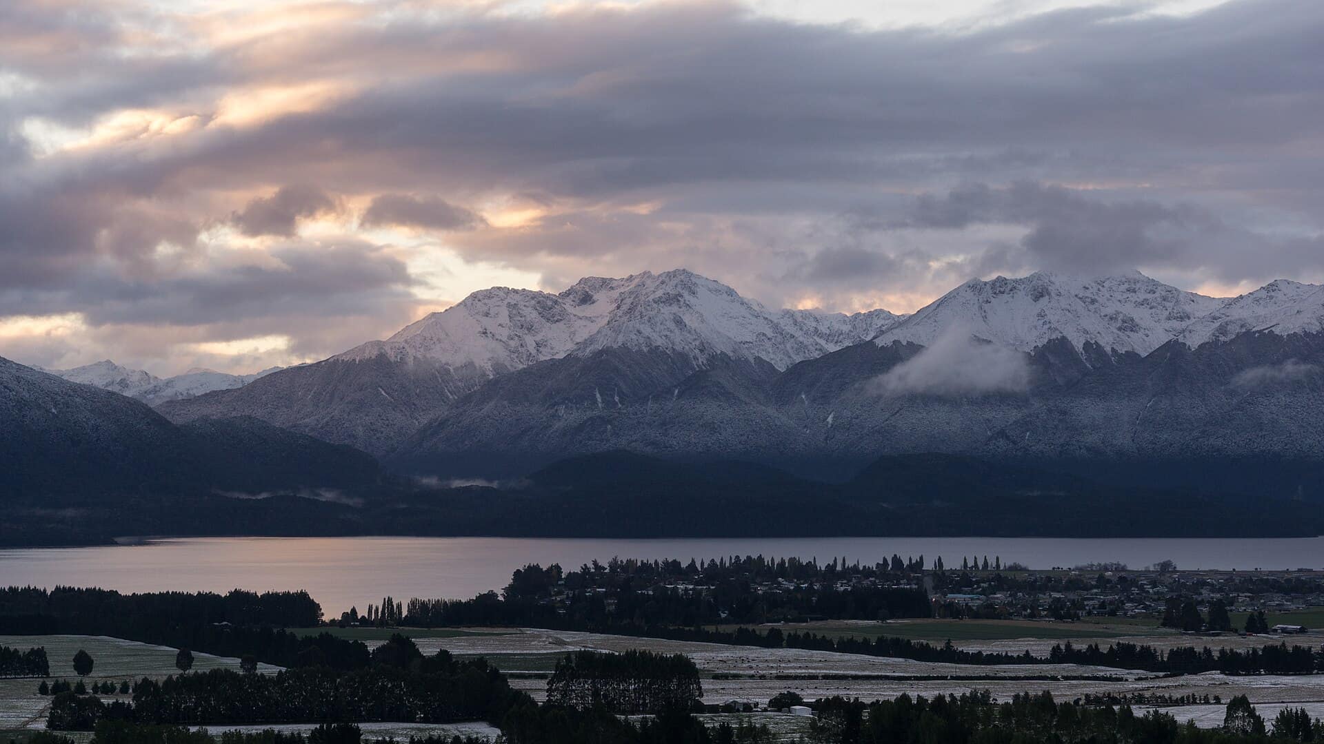
Header photo: Tim Burgess, CC BY-SA 4.0, via Wikimedia Commons (licence).