Property for rent in Whiterigg, Gore
Houses, townhouses, apartments and sections, farms and lifestyle blocks, and commercial and industrial sites for rent in Whiterigg, Gore, each listing beside what the property would rent for, its title, school zones and running costs.
0 properties for rent in Whiterigg
Nothing in Whiterigg is advertised for rent on the sites we follow just now; .
About Whiterigg
About 5.1% of its homes sold in the last twelve months.
Schools zoned for Whiterigg
- Southland Adventist Christian Schoolprimary · Years 1-8
- Knapdale Schoolprimary · Years 1-8
Whiterigg house prices over time
Median sale price by year, all homes; 2026 is the year so far. Across Gore it was $480k.
Sales by year as a table
| Year | Sales | Median price | Per m² floor | Per m² land (est.) | Gore median |
|---|---|---|---|---|---|
| 2026 | 1 | — | — | — | $480,000 |
| 2025 | 4 | — | — | — | $450,000 |
| 2024 | 2 | — | — | — | $425,000 |
| 2023 | 3 | — | — | — | $400,000 |
| 2022 | 5 | $740,000 | $3,023 | $15 | $410,000 |
| 2021 | 3 | — | — | — | $388,000 |
| 2020 | 1 | — | — | — | $310,000 |
| 2019 | 1 | — | — | — | $260,000 |
| 2018 | 4 | — | — | — | $245,000 |
| 2017 | 4 | — | — | — | $230,000 |
| 2016 | 2 | — | — | — | $197,500 |
Estimated value, month by month
Our model's median estimate for homes in Whiterigg, up 4% over the last twelve months. An automated estimate, not a registered valuation.
Prices by bedrooms in Whiterigg
| Bedrooms | Homes | Median council value | Sold, last 12 months | Median sale | Per m² floor |
|---|---|---|---|---|---|
| 3 | 15 | $635k | 1 | — | $4,536 |
| 4 | 22 | $920k | 2 | — | $4,525 |
| 5+ | 7 | $1.2m | 1 | — | $4,121 |
Price per square metre
Recent sales in Whiterigg
- 183 Whiterig Road$1,300,0001 Jul 2026 · 5 bed · 290 m² floor · 17,546 m² land
- 139 Knapdale Road$675,0004 Dec 2025 · 4 bed · 160 m² floor · 1,384 m² land
- 187 Whiterig Road$807,50014 Nov 2025 · 4 bed · 240 m² floor · 5,291 m² land
- 53 Pinnacle Road$510,00013 Nov 2025 · 3 bed · 160 m² floor · 2,428 m² land
- 14 Knapdale Road$265,0004 Sept 2025 · 8.28 ha land
- 141 McKinnon Road$740,0009 Jun 2024 · 4 bed · 160 m² floor · 19,992 m² land
- 96B Pinnacle Road$280,0005 Apr 2024 · 288 m² floor · 23,816 m² land
- 96D Pinnacle Road$300,00031 Aug 2023 · 3.19 ha land
- 148 McKinnon Road$950,0005 Jul 2023 · 4 bed · 280 m² floor · 14,888 m² land
- 88 Whiterig Road$1,450,00019 Jan 2023 · 5 bed · 320 m² floor · 19,938 m² land
- 96 Pinnacle Road$890,00027 Oct 2022 · 4 bed · 174 m² floor · 4.07 ha land
- 187 Whiterig Road$740,0005 Aug 2022 · 4 bed · 240 m² floor · 5,291 m² land
How long owners stay in Whiterigg
Time between a home's sales, for homes that resold in the last five years. A home not sold since our records begin is not counted, so owners who stay longest are under-represented.
Who lives in Whiterigg
About 123 people lived in Whiterigg at the 2023 census (up 3% since 2018); their median age was about 43 (Gore: 43); 65% of households owned their home (Gore: 74%).
Age
- 30-64 years46%
- Under 15 years22%
- 65 years and over17%
- 15-29 years10%
Households
- One-family household (with or without other people)81%
- One-person household25%
- Other multi-person household0%
- Two-family household (with or without other people)0%
- Three or more family household (with or without other people)0%
Ethnicity
- European83%
- Asian15%
- Middle Eastern/Latin American/African2%
- Māori0%
- Other Ethnicity0%
- Pacific Peoples0%
Where people were born
- New Zealand83%
- Asia13%
- United Kingdom and Ireland5%
- Middle East and Africa3%
- Other0%
- Australia0%
- North America0%
- Pacific Islands0%
Household income
- $70,001-$100,00025%
- $100,001-$150,00025%
- $30,001-$50,00019%
- $50,001-$70,00013%
- $200,001 or more13%
- $20,001-$30,0006%
- $150,001-$200,0006%
- $20,000 or less0%
Dwellings
- Separate house94%
- Joined dwelling6%
- Non-private dwelling0%
- Other private dwelling0%
Highest qualification
- No qualification19%
- Level 1 certificate16%
- Level 4 certificate13%
- Level 2 certificate10%
- Bachelor degree and Level 7 qualification10%
- Level 5 diploma6%
- Level 6 diploma6%
- Overseas secondary school qualification6%
Stats NZ Census 2023 and 2018, summed over the census areas inside Whiterigg. Medians are approximate: Stats NZ publishes them per area and they cannot be added up exactly.
Real estate agents selling in Whiterigg
2 agents have been credited on a sale or a live listing in Whiterigg in the last two years. Those with the most:
Counted from sales records that name the agent, and from current listings. A count of activity, not a rating.
Building and resource consents in Whiterigg
- 148 McKinnon Road1 Jul 2026 · Building consentFire installation - freestanding woodsman kanaku wood burner
- 187 Whiterig Road1 Apr 2026 · Building consentFire installation - inbuilt yunca xander insert wood burner
- 96B Pinnacle Road1 Feb 2026 · Building consentFire installation - freestanding maxen kinmont 450 wood burner
- 96B Pinnacle Road1 Nov 2025 · Building consentSiting foundations drainage & recladding of transported 4 bdrm dwg with attached gge.
Search building consents in Whiterigg and see Stats NZ's count of new homes there.
Sales and valuations as at 18 September 2026, from council and LINZ records. Figures resting on fewer than 5 sales are not shown.
About property for rent in Whiterigg, Gore
Every property in Whiterigg, Gore, whether it is for sale or not: homes, sections, farms, lifestyle blocks, shops, offices and industrial land. Each is listed from the council rating roll and Toitū Te Whenua LINZ, with the listing beside it when an agent is marketing it.
Rentals come from the agents and property managers who list them, matched to the property each is for, so every one opens on that property’s own page: its rent estimate, title, hazards, the internet it can get, and its power and insurance costs.
Each property has its own page: our estimate of its value beside the council rating valuation, past sale prices, the title and land area, zoning and hazards, building consents, and what it would cost to own.
Listings are published by the agents who market them. Addresses, land details and rating valuations come from Toitū Te Whenua Land Information New Zealand and from the council. No ownership information is published.
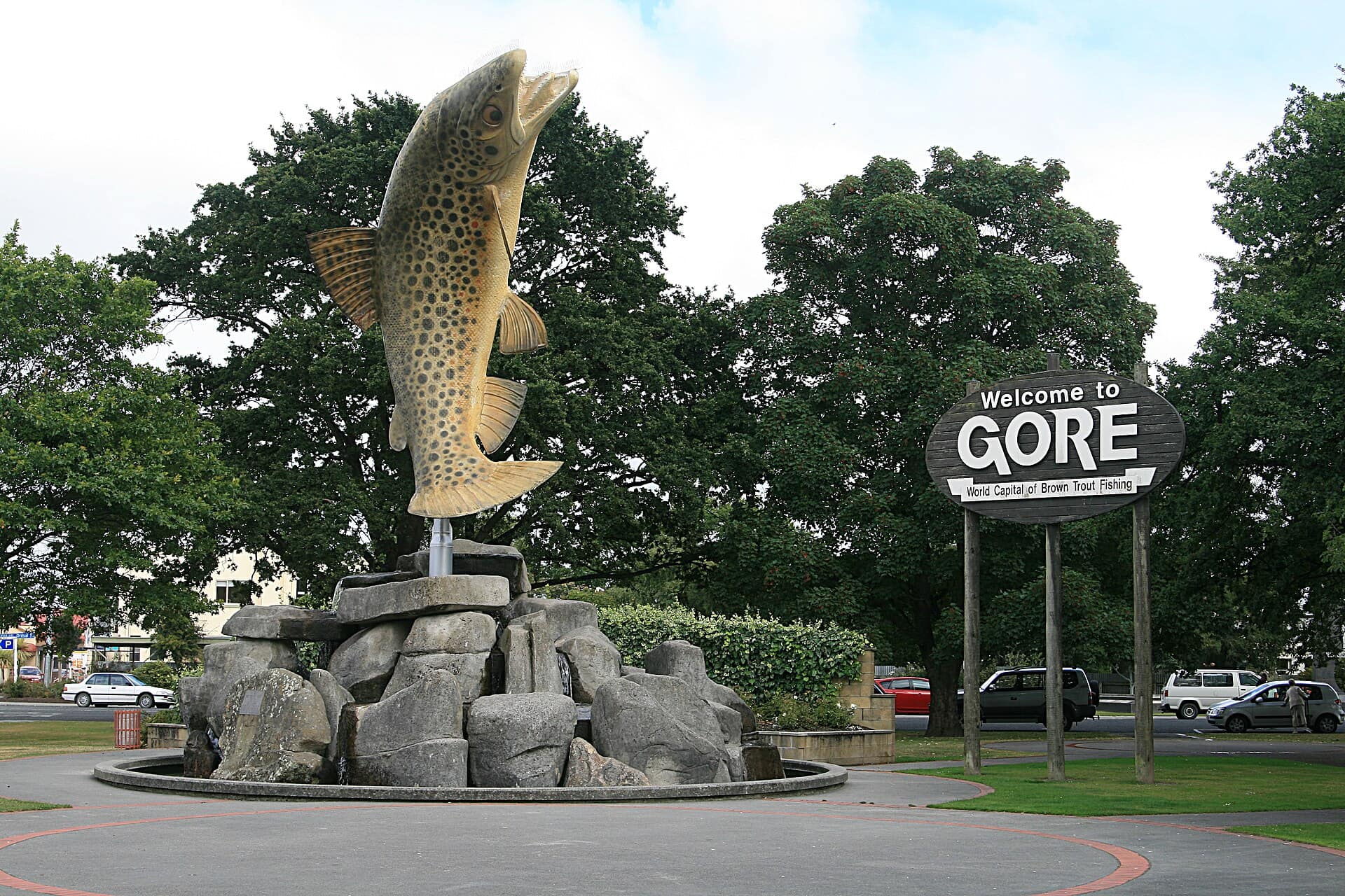
Header photo: Mr Bungle, CC BY 2.5, via Wikimedia Commons (licence).