Property sold in Greenstreet, Ashburton
Houses, townhouses, apartments and sections, farms and lifestyle blocks, and commercial and industrial sites sold in Greenstreet, Ashburton in the last twelve months, latest first, with the price where it is public beside the council valuation.
0 properties sold in the last 12 months in Greenstreet
Try fewer filters. Some figures (bedrooms, values) are not published for every council yet.
About Greenstreet
Schools zoned for Greenstreet
- Ashburton Borough Schoolprimary · Years 1-8
- Ashburton Christian Schoolcomposite · Years 1-10
- St Joseph's School (Ashburton)primary · Years 1-8
- Allenton Schoolprimary · Years 1-6
- Lauriston Schoolprimary · Years 1-6
- Craighead Diocesan Schoolsecondary · Years 7-15
- St Thomas of Canterbury Collegesecondary · Years 7-15
- Villa Maria Collegesecondary · Years 7-15
- Ashburton Intermediateintermediate · Years 7-8
- Mount Hutt Collegesecondary · Years 7-15
- Ashburton Collegesecondary · Years 9-15
Greenstreet house prices over time
Median sale price by year, all homes; 2025 is the year so far. Across Ashburton it was $570k.
Sales by year as a table
| Year | Sales | Median price | Per m² floor | Per m² land (est.) | Ashburton median |
|---|---|---|---|---|---|
| 2025 | 1 | — | — | — | $540,000 |
| 2024 | 4 | — | — | — | $521,500 |
| 2023 | 1 | — | — | — | $505,500 |
| 2022 | 2 | — | — | — | $500,000 |
| 2021 | 2 | — | — | — | $400,000 |
| 2020 | 4 | — | — | — | $375,000 |
| 2019 | 5 | $770,000 | $5,233 | $5 | $355,000 |
| 2018 | 2 | — | — | — | $330,000 |
| 2017 | 3 | — | — | — | $341,250 |
| 2016 | 1 | — | — | — | $335,000 |
Estimated value, month by month
Our model's median estimate for homes in Greenstreet, up 2% over the last twelve months. An automated estimate, not a registered valuation.
Prices by bedrooms in Greenstreet
| Bedrooms | Homes | Median council value | Sold, last 12 months | Median sale | Per m² floor |
|---|---|---|---|---|---|
| 3 | 7 | $900k | 0 | — | $6,567 |
| 4 | 19 | $1.16m | 0 | — | $4,633 |
| 5+ | 8 | $1.29m | 0 | — | $3,853 |
Price per square metre
Recent sales in Greenstreet
- 368 Ashburton Staveley Road$1,235,00020 Jun 2025 · 4 bed · 256 m² floor · 2 ha land
- 170 Rawles Crossing Road$1,076,00024 Dec 2024 · 3 bed · 150 m² floor · 8.65 ha land
- 360 Ashburton Staveley Road$1,065,00013 Sept 2024 · 3 bed · 237 m² floor · 2.04 ha land
- 26 Rawles Crossing Road$1,322,50020 Jun 2024 · 4 bed · 234 m² floor · 8 ha land
- 378 Ashburton Staveley Road$1,180,0002 May 2024 · 4 bed · 310 m² floor · 2.02 ha land
- $420,00014 Feb 2023 · 9.46 ha land
- 360 Ashburton Staveley Road$1,030,0004 Jul 2022 · 3 bed · 237 m² floor · 2.04 ha land
- $340,00022 Apr 2022 · 2.15 ha land
- 366 Ashburton Staveley Road$985,5009 Nov 2021 · 4 bed · 254 m² floor · 2.03 ha land
- 353 Methven Highway$640,00031 Mar 2021 · 3 bed · 154 m² floor · 1.44 ha land
- 27 Buchans Road$480,00027 Oct 2020 · 5 bed · 536 m² floor · 8.03 ha land
- 271A Ashburton Staveley Road$300,00024 Jul 2020 · 2 ha land
Who lives in Greenstreet
About 159 people lived in Greenstreet at the 2023 census (up 26% since 2018); their median age was about 40 (Ashburton: 42); 74% of households owned their home (Ashburton: 69%).
Age
- 30-64 years51%
- Under 15 years19%
- 65 years and over17%
- 15-29 years13%
Households
- One-family household (with or without other people)84%
- One-person household11%
- Two-family household (with or without other people)5%
- Other multi-person household0%
- Three or more family household (with or without other people)0%
Ethnicity
- European77%
- Asian17%
- Pacific Peoples4%
- Other Ethnicity2%
- Māori0%
- Middle Eastern/Latin American/African0%
Where people were born
- New Zealand77%
- Asia13%
- Pacific Islands4%
- United Kingdom and Ireland4%
- Other0%
- Australia0%
- North America0%
- Middle East and Africa0%
Household income
- $200,001 or more21%
- $100,001-$150,00021%
- $70,001-$100,00016%
- $150,001-$200,00016%
- $50,001-$70,00011%
- $20,001-$30,0005%
- $20,000 or less0%
- $30,001-$50,0000%
Dwellings
- Separate house95%
- Joined dwelling5%
- Other private dwelling5%
- Non-private dwelling0%
Highest qualification
- Level 1 certificate24%
- Level 2 certificate17%
- Bachelor degree and Level 7 qualification14%
- No qualification10%
- Level 4 certificate10%
- Level 6 diploma5%
- Level 3 certificate5%
- Post-graduate and honours degrees5%
Stats NZ Census 2023 and 2018, summed over the census areas inside Greenstreet. Medians are approximate: Stats NZ publishes them per area and they cannot be added up exactly.
Real estate agents selling in Greenstreet
1 agent has been credited on a sale or a live listing in Greenstreet in the last two years. Those with the most:
Counted from sales records that name the agent, and from current listings. A count of activity, not a rating.
Building and resource consents in Greenstreet
- 200 Rawles Crossing Road1 Aug 2026 · Building consentConstruction of 3 multi-unit dwgs - single storey
- 200 Rawles Crossing Road1 Jul 2026 · Building consentConstruction of multi-unit dwg - single storey with 2
- 200 Rawles Crossing Road1 Jun 2026 · Building consentConstruction of detached dwg - single storey with 3
- 514 Ashburton Staveley Road1 May 2026 · Building consentF/s metro extreme Ltd sfh
- 200 Rawles Crossing Road1 Apr 2026 · Building consentConstruction of multi-unit dwelling - single storey with 2 X 2 bedrooms & attached garage - Villa - 65 & 67 - Construction of multi-unit dwelling - single storey with 2 X 2 bedrooms & attached garage
Search building consents in Greenstreet and see Stats NZ's count of new homes there.
Sales and valuations as at 18 September 2026, from council and LINZ records. Figures resting on fewer than 5 sales are not shown.
About property sold in Greenstreet, Ashburton
Every property in Greenstreet, Ashburton, whether it is for sale or not: homes, sections, farms, lifestyle blocks, shops, offices and industrial land. Each is listed from the council rating roll and Toitū Te Whenua LINZ, with the listing beside it when an agent is marketing it.
Sales come from the council valuation roll and the listings that preceded them. Each opens on the property’s own page, with its full sales history, our estimate of its value today and its title.
Each property has its own page: our estimate of its value beside the council rating valuation, past sale prices, the title and land area, zoning and hazards, building consents, and what it would cost to own.
Listings are published by the agents who market them. Addresses, land details and rating valuations come from Toitū Te Whenua Land Information New Zealand and from the council. No ownership information is published.
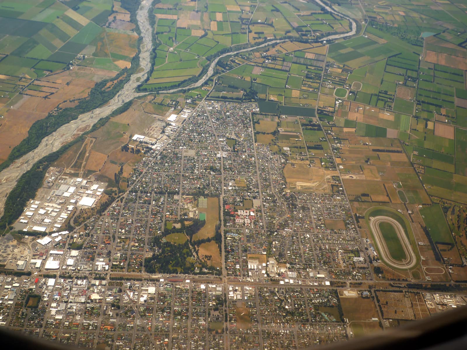
Header photo: Andrew Cooper, CC BY-SA 4.0, via Wikimedia Commons (licence).