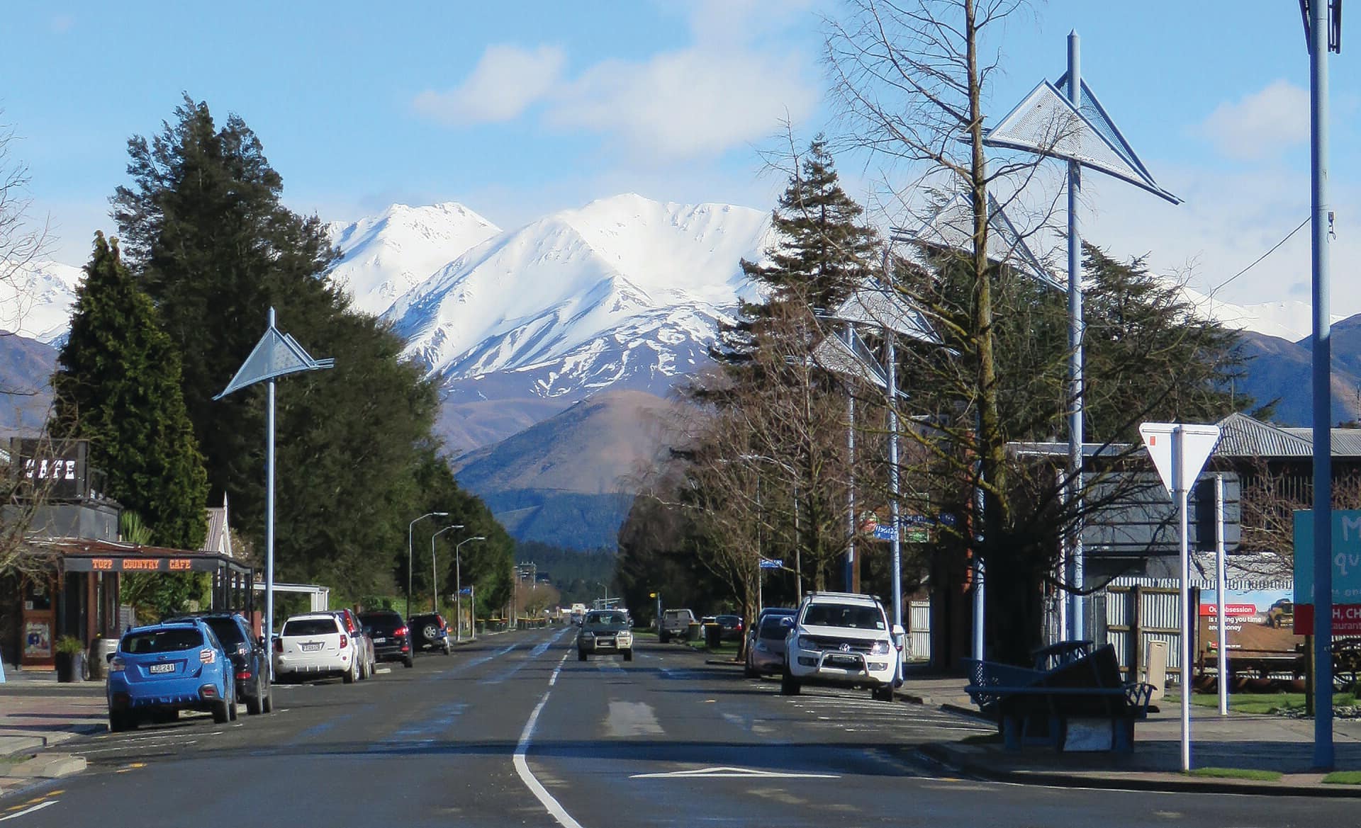
Property sold in Mount Hutt, Methven
Houses, townhouses, apartments and sections, farms and lifestyle blocks, and commercial and industrial sites sold in Mount Hutt, Methven in the last twelve months, latest first, with the price where it is public beside the council valuation.
0 properties sold in the last 12 months in Mount Hutt
Try fewer filters. Some figures (bedrooms, values) are not published for every council yet.
About Mount Hutt
Schools zoned for Mount Hutt
- Ashburton Christian Schoolcomposite · Years 1-10
- Methven Primary Schoolprimary · Years 1-6
- Mount Hutt Collegesecondary · Years 7-15
- St Thomas of Canterbury Collegesecondary · Years 7-15
- Villa Maria Collegesecondary · Years 7-15
- Craighead Diocesan Schoolsecondary · Years 7-15
Recent sales in Mount Hutt
- 594 Blackford Road$1,650,00010 Oct 2021 · 3 bed · 372 m² floor · 29,140 m² land
- 607 Blackford Road$800,0001 Jul 2021 · 3 bed · 165 m² floor · 6.6 ha land
- $900,00024 Jul 2020 · 4 bed · 250 m² floor · 6.02 ha land
- $180,0008 Mar 2020 · 270 m² floor · 12,141 m² land
- 594 Blackford Road$1,465,50023 Feb 2020 · 3 bed · 372 m² floor · 29,140 m² land
- 6271 Arundel Rakaia Gorge Road$220,00015 Mar 2017 · 5 bed · 700 m² floor · 10.1 ha land
- 123 Blackford Road$620,0006 Nov 2012 · 4 bed · 180 m² floor · 7 ha land
- 594 Blackford Road$270,00024 Nov 2010 · 3 bed · 372 m² floor · 29,140 m² land
- $91,00020 Jan 2010 · 270 m² floor · 12,141 m² land
- 607 Blackford Road$495,0003 Sept 2009 · 3 bed · 165 m² floor · 6.6 ha land
- 600 Blackford Road$422,0005 Jun 2009 · 4 bed · 336 m² floor · 20,000 m² land
- 6271 Arundel Rakaia Gorge Road$950,0001 May 2007 · 5 bed · 700 m² floor · 10.1 ha land
Who lives in Mount Hutt
About 123 people lived in Mount Hutt at the 2023 census; their median age was about 35 (Methven: 39); 37% of households owned their home (Methven: 63%).
Age
- 30-64 years46%
- 15-29 years24%
- Under 15 years20%
- 65 years and over12%
Households
- One-family household (with or without other people)75%
- One-person household19%
- Other multi-person household0%
- Two-family household (with or without other people)0%
- Three or more family household (with or without other people)0%
Ethnicity
- European85%
- Asian12%
- Māori10%
- Other Ethnicity2%
- Pacific Peoples0%
- Middle Eastern/Latin American/African0%
Where people were born
- New Zealand73%
- United Kingdom and Ireland15%
- Asia10%
- North America3%
- Other0%
- Australia0%
- Pacific Islands0%
- Middle East and Africa0%
Household income
- $100,001-$150,00031%
- $70,001-$100,00019%
- $150,001-$200,00019%
- $50,001-$70,00013%
- $30,001-$50,0006%
- $200,001 or more6%
- $20,000 or less0%
- $20,001-$30,0000%
Dwellings
- Separate house79%
- Joined dwelling16%
- Non-private dwelling5%
- Other private dwelling5%
Highest qualification
- Level 2 certificate15%
- Level 5 diploma12%
- Level 3 certificate12%
- Bachelor degree and Level 7 qualification12%
- Level 6 diploma9%
- No qualification9%
- Level 1 certificate9%
- Post-graduate and honours degrees9%
Stats NZ Census 2023 and 2018, summed over the census areas inside Mount Hutt. Medians are approximate: Stats NZ publishes them per area and they cannot be added up exactly.
Sales and valuations as at 18 September 2026, from council and LINZ records. Figures resting on fewer than 5 sales are not shown.
About property sold in Mount Hutt, Methven
Every property in Mount Hutt, Methven, whether it is for sale or not: homes, sections, farms, lifestyle blocks, shops, offices and industrial land. Each is listed from the council rating roll and Toitū Te Whenua LINZ, with the listing beside it when an agent is marketing it.
Sales come from the council valuation roll and the listings that preceded them. Each opens on the property’s own page, with its full sales history, our estimate of its value today and its title.
Each property has its own page: our estimate of its value beside the council rating valuation, past sale prices, the title and land area, zoning and hazards, building consents, and what it would cost to own.
Listings are published by the agents who market them. Addresses, land details and rating valuations come from Toitū Te Whenua Land Information New Zealand and from the council. No ownership information is published.
Header photo: Bevanw58, CC BY-SA 4.0, via Wikimedia Commons (licence).