Deadline Sale
Deadline sale Wed, 18 Nov
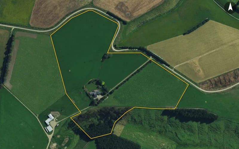
‘Craigmore Downs' - Scale and Opportunity - 384ha
127 Motukaika Road, Maungati
PGG Wrightson Real Estate
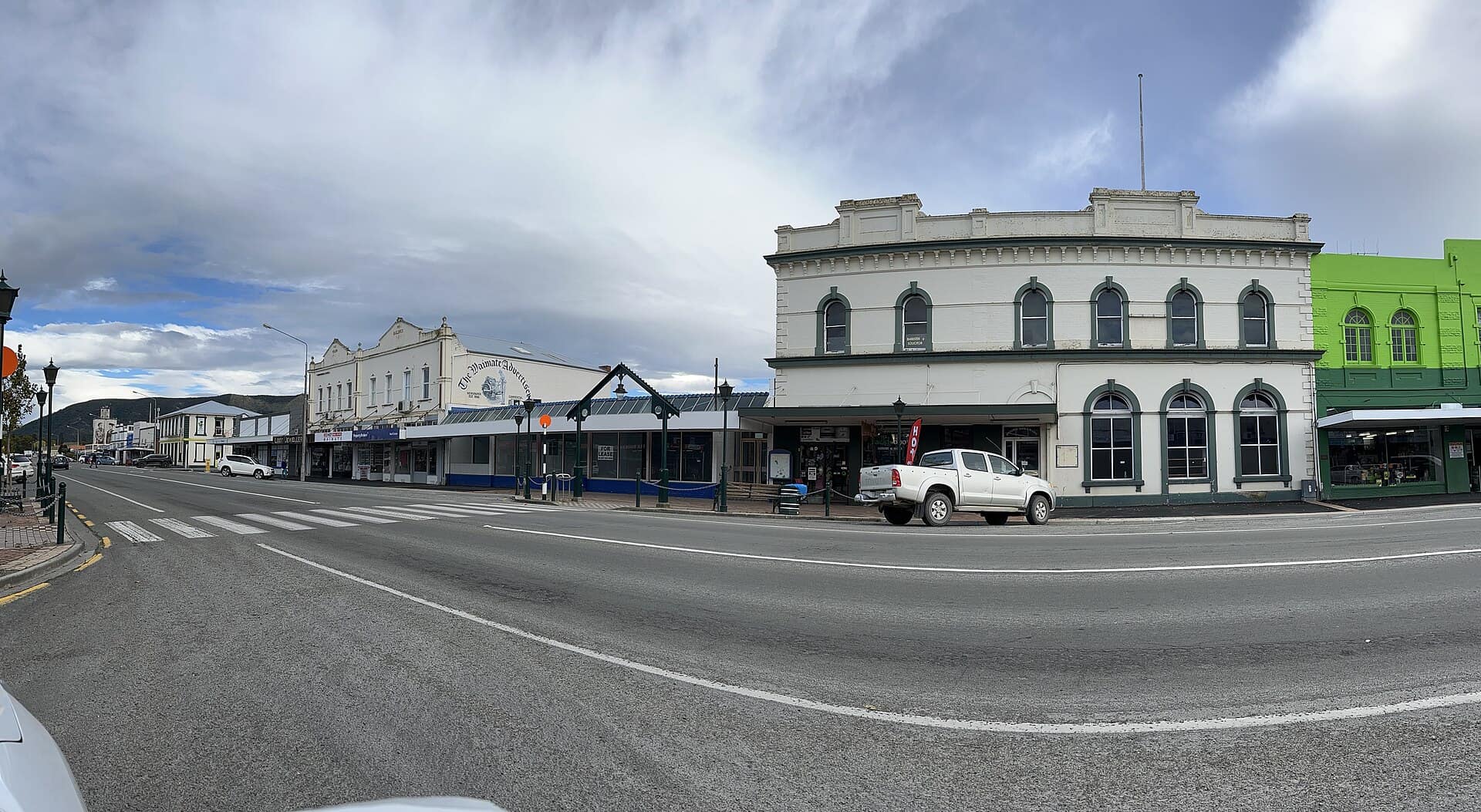
The median council valuation in Maungati is $630k.
About 0.9% of its homes sold in the last twelve months.
| Bedrooms | Homes | Median council value | Sold, last 12 months | Median sale | Per m² floor |
|---|---|---|---|---|---|
| 3 | 16 | $615k | 0 | — | $4,111 |
| 4 | 12 | $773k | 1 | — | $3,720 |
Time between a home's sales, for homes that resold in the last five years. A home not sold since our records begin is not counted, so owners who stay longest are under-represented.
About 147 people lived in Maungati at the 2023 census (down 6% since 2018); their median age was about 50 (Southburn: 43); 64% of households owned their home (Southburn: 67%).
Stats NZ Census 2023 and 2018, summed over the census areas inside Maungati. Medians are approximate: Stats NZ publishes them per area and they cannot be added up exactly.
2 agents have been credited on a sale or a live listing in Maungati in the last two years. Those with the most:
Counted from sales records that name the agent, and from current listings. A count of activity, not a rating.
Search building consents in Maungati and see Stats NZ's count of new homes there.
Sales and valuations as at 18 September 2026, from council and LINZ records. Figures resting on fewer than 5 sales are not shown.
Every property in Maungati, Southburn, whether it is for sale or not: homes, sections, farms, lifestyle blocks, shops, offices and industrial land. Each is listed from the council rating roll and Toitū Te Whenua LINZ, with the listing beside it when an agent is marketing it.
Each property has its own page: our estimate of its value beside the council rating valuation, past sale prices, the title and land area, zoning and hazards, building consents, and what it would cost to own.
Listings are published by the agents who market them. Addresses, land details and rating valuations come from Toitū Te Whenua Land Information New Zealand and from the council. No ownership information is published.
Header photo: AnnWoolliams, CC BY-SA 4.0, via Wikimedia Commons (licence).